Multichannel Electrical Resistivity Scanning for Underwater Geophysical and Archaeological Surveys
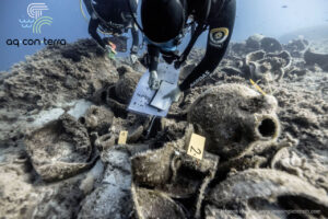
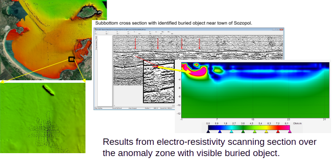
Our methodology supports different electrode configurations and spacing, allowing the investigation scale and spatial resolution to be adapted to specific targets and research objectives. It can identify stratigraphic boundaries, characterize sedimentary structures, and locate buried archaeological remains, including shipwrecks that are not directly visible on the seabed. Its applicability has been demonstrated at archaeological sites along the Bulgarian Black Sea coast, including the identification of buried wooden shipwrecks and the characterization of subsurface structures.
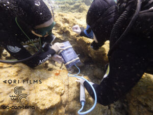
The system offers flexible deployment options, including diver-assisted electrode positioning directly on the seabed in shallow waters and vessel-towed measurements at greater depths. Individual survey profiles can be integrated into three-dimensional models, providing detailed information on the position, extent, and internal structure of buried anomalies.
When combined with multibeam echosounder (MBES), side-scan sonar (SSS), sub-bottom profiler (SBP), and magnetic survey data, electrical resistivity scanning provides complementary information on subsurface properties, improving the interpretation and verification of complex geophysical anomalies.
No certifications available.
| Categories | Eco-friendly Sensors |
|---|---|
| Tags | Innovative |
| Seller | IUH-Geophysics |