Environmental Monitoring Apps
DIVY – Augmented Diving System
Request Quotation
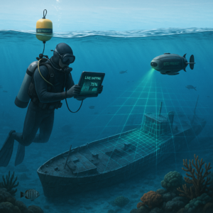
DIVY Smart (Augmented Diving System) is a real-time diver positioning and data acquisition platform that overlays 2D/2.5D seabed maps with accurate acoustic tracking to enhance spatial awareness and operational safety underwater.
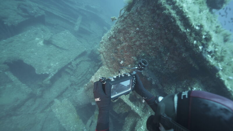
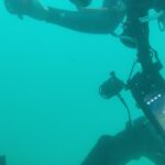
Available in both tablet and smartphone configurations, DIVY integrates an acoustic transducer and embedded electronics inside a commercial underwater housing, transforming standard diving equipment into an advanced digital interface for navigation, mapping, inspection, and reporting.
Through a dedicated underwater application, divers can access positioning, data capture, and communication tools directly from their device during the dive.
Features
- Real‑time diver localization and navigation
Leveraging acoustic modems, DIVY provides high‑accuracy underwater positioning comparable to USBL‑based diver‑tracking systems. Divers see their live position over 2D/2.5D seabed maps, enabling intuitive route‑following, area coverage, and return‑to‑point navigation in environments where GNSS is unavailable.
- Georeferenced images and sensor data
The underwater smartphone/tablet configuration supports capture of georeferenced photos, sensor readings, and mission annotations, storing each observation with precise spatial coordinates. This ensures that collected data is immediately usable for analysis, photogrammetry, inspection reports, and long‑term monitoring of sites and assets. - Smart underwater human–machine interface
DIVY includes a custom underwater interface with magnetic wet‑contact buttons, compass, BLE interface board, and integrated battery, designed for reliable operation and easy interaction by divers wearing gloves. The dedicated app translates button inputs and sensor feedback into clear on‑screen controls, mission prompts, and status indicators, minimizing cognitive load while maximizing control and awareness underwater. - Integrated topside smart buoy
The SMART BUOY unit combines GNSS with online RTK correction, a 9‑DOF IMU, onboard processing, and Wi‑Fi/Bluetooth connectivity to manage positioning and data exchange with the diver unit. By pairing the surface base-beacon with topside GPS, the buoy provides georeferenced acoustic tracking of the diver, bridging surface navigation and underwater positioning into a single, cohesive system. - Portable underwater digital lab
Through its integrated architecture, DIVY functions as a portable underwater digital lab that unifies navigation, data capture, and communication within one operational platform. This allows operators to deploy a compact, versatile system that supports guided missions, inspection tasks, exploration activities, and structured data collection without the need for complex, multi‑device setups.
No certifications available.
| Categories | Environmental Monitoring Apps |
|---|---|
| Tags | Safety, Sustainability |
| Seller | marco3dr |